



How to Do 3D Modeling and Rendering for Landscape Design? 2026 Complete Workflow and Delivery Standards Guide
The approach to 3D modeling and rendering in landscape design can be summarized as a four-step process: "site reconstruction — element building — detail refinement — output validation," followed by choosing static rendering or a real-time engine for output based on the intended use. In 2026, mainstream tools include SketchUp/Blender for modeling, paired with Enscape/Lumion for image rendering, or UE5 for walkable scenes. For delivery, it is essential to specify model precision, rendering resolution, and file formats to ensure that the client, construction team, and designers have a consistent understanding of the design intent.
Why Do Landscape Designs Need 3D Modeling and Rendering?
Landscape design deals with the spatial relationships among terrain, vegetation, water features, and buildings, and two-dimensional drawings cannot intuitively convey scale and layering. 3D modeling can reveal elevation conflicts, sightline obstructions, and plant configuration proportion issues in advance; rendering results are the decision-making tool for scheme presentations. A qualified landscape render should simultaneously meet the following: leaf outlines visible in the foreground, pavement joints visible in the background; lighting consistent with the geographic latitude and time of day; and color depth with at least three gradients: distant, mid-ground, and foreground.
The "Four-Step Production Method" for Landscape 3D Modeling
Based on the 2026 project delivery pace, it can be broken down into the following four steps, confirming details from macro to micro to avoid wasting time on low-level details.
Step 1: Site Reconstruction
Use CAD base drawings or UAV oblique photography to build the base terrain, focusing on elevation and slope. The terrain mesh resolution should not exceed twice the site area, otherwise the file will be too large. Acceptance criterion: the terrain undulation error should not exceed 5% compared to the original survey data.
Step 2: Element Building
Model garden paths, water features, buildings, trees, and shrubs in separate layers, grouping plants by specification. A common practice in 2026 is to use proxy models to reduce scene complexity and replace them with high-precision models during rendering. Note that plant species should match the local region; using tropical palms in northern projects may raise doubts about feasibility.
Step 3: Detail Refinement
Add human-scale details such as paving textures, railings, and lighting fixtures, and set seasonal parameters. Details should align with construction cost logic; granite and permeable bricks should show texture differences. Night scenes need to distinguish between key lighting and ambient light.
Step 4: Output Validation
Check the coordinate origin, material maps, and plant clipping. It is recommended to use a low-resolution "lighting test render" for quick verification. If large black surfaces or flickering are found, go back and fix them, then proceed to final rendering. Checkpoints can also be set up: do a quick render preview after completing each area.
How to Choose Between Rendering and Real-Time Engines?
In 2026, there are two main types of rendering deliverables for landscape design: static renderings and real-time interactive scenes. The choice depends on the purpose: for printing, regulatory submission documents, or investment brochures, use Enscape or Lumion for static images; for immersive presentations, web or mini-program displays, or VR panoramas, use UE5 or Unity for real-time scenes. The differences are as follows.
- Static rendering: each image takes about 1-4 days, works on a standard computer, and the output is high-resolution images or panoramas; not interactive.
- Real-time engine: basic scene setup takes 5-10 days, requires higher graphics hardware, and the output is walkable files or WebGL; free navigation but higher cost.
Large-site aerial views usually favor static rendering to control costs; landscape nodes or commercial streets can use a real-time engine for interactivity. If budget is limited, start with static rendering; if the client explicitly asks for web-based walkthroughs, upgrade to the UE5 workflow.
Delivery Formats and Acceptance Criteria
Delivery formats vary by scenario: internal collaboration in design institutes often uses .skp; cross-team or client reviews use FBX or OBJ for compatibility; multimedia presentations export PNG/TGA or MP4 (H.264). If WebGL online display is needed, export GLB/glTF and compress textures to within 2K to ensure smooth loading. Acceptance criteria include model precision, rendering resolution, file naming conventions, and whether the texture folders and material descriptions are attached.
Common Causes of Rework and How to Avoid Them
In 2026, common causes of rework in landscape projects fall into three categories: elevation errors causing terrain and paths to either float or penetrate; plant layer chaos preventing individual control of foreground and background during rendering; and non-uniform material naming causing the renderer to fail to recognize PBR materials, resulting in gray models. It is recommended to set up project-level naming conventions and layer templates, and to regularly clean up unused components during modeling.
Applicable Scenarios and Limitations
3D modeling and rendering are suitable for landscape projects that require clear visual communication, including residential landscapes, parks and squares, waterfront greenways, and commercial streets. Scenarios that are not suitable or unnecessary for 3D include: the pure conceptual sketch stage, very low-budget small courtyard renovations, and municipal approval processes that only require flat schematic explanations. If the project period is shorter than 3 days and no ready-made model library is available, consider photomontage or hand-drawn representation.
Suggestions for different project scales: small projects (community gardens) can use SketchUp+Enscape with a budget of about 5,000-8,000 RMB; medium projects (city parks) are recommended to use Blender or Rhino for modeling plus Lumion for refinement, with a timeline of about 2-4 weeks; large projects (waterfront landscape belts) are recommended to use UE5 or Unity for digital twin construction, usually with a budget exceeding 10,000 RMB, requiring specialized hardware and engine technical staff.
FAQ
How long does 3D modeling for landscape design generally take?
The modeling period for a conventional residential landscape is about 5-10 working days, depending on site complexity and the number of plants. Shrub and groundcover layers take longer than trees.
What factors affect the price of landscape rendering?
The price is mainly affected by resolution, lighting layers, and the number of revisions. A typical single image costs about 1,000-3,000 RMB, with higher prices for night scenes or special atmospheres like snow.
Can one person complete both modeling and rendering?
Yes, but when working in a team, it is better to divide responsibilities. If one person does everything, allow double the time because modeling rework will also affect the rendering schedule.
Real-time engine or static images?
Choose a real-time engine when the client needs to freely explore during demos; choose static images for regulatory submission or print output. Alternatively, produce static images first to set the tone, then create a walkthrough version.
What is the standard format for client delivery?
Common formats are skp, FBX, OBJ, and glTF, with texture folders and material descriptions attached. It is not recommended to deliver only static images, as the client may need further modifications.
Action guide: Before starting a 2026 landscape 3D project, first decide on the rendering approach based on the purpose, then match modeling precision and delivery formats. If the goal is scheme communication, choose static rendering; if an immersive experience is needed, deploy WebGL or VR. It is recommended to follow the four-step process and set checkpoints; if the budget is extremely low or the timeline is very short, the process can be simplified, but always retain the site elevation verification to prevent rework.
-
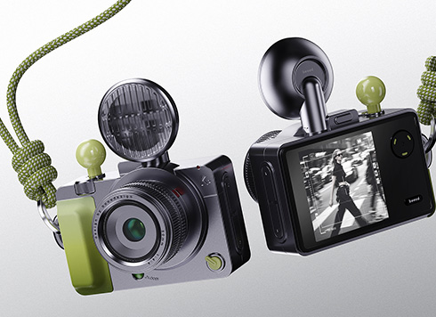 EDC·Trendy Camera Product Design: Form Follows Emotion
EDC Toy Camera: Braun-inspired retro design ...
-
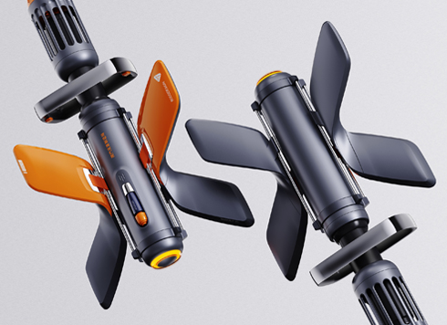 Product Design of Children's "Bubble Rocket" Underwater Thruster
Inspired by "Octonauts + Space", kids' "Bub ...
-
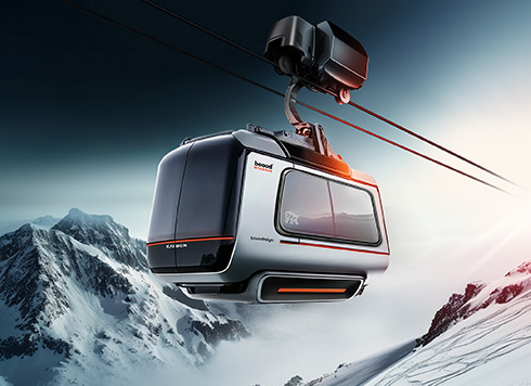 Design of Adaptive Intelligent High-Altitude Shuttle Transport Robot
Smart rural shuttle bot: Streamlined, weath ...
-
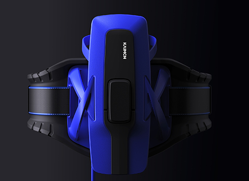 "Effortless" Exoskeleton Wear: Unleash Ultimate Freedom in the Sea
"Unfelt Wearability" & "Bionic Power" redef ...
-
Product Appearance Design: Modeling Workflow, Rendering Options, and Delivery Standards
Date: Aug 9, 2026 Read: 96
-
AI Digital Human 3D Modeling Production Process Guide: From Requirements to Delivery
Date: Jul 22, 2026 Read: 162
-
WebGL Rendering Workflow and Delivery Standards: A Guide from Modeling to Web-based 3D Deployment
Date: Aug 10, 2026 Read: 127
-
How to Do AI Digital Human 3D Modeling: A Guide to Workflow, Tools, and Delivery Standards
Date: Aug 7, 2026 Read: 147
-
3D Modeling and Rendering Workflow and Selection Guide for Factory Building Landscape Design
Date: Jul 29, 2026 Read: 114